Visualizing Dengue infections in Costa Rica

These visualizations show all recorded cases of infections of the Dengue virus in Costa Rica in 2015. This virus is mainly transmitted by the Aedes mosquito, who is also responsible for the infections of the Zika and Chikungunya viruses.

I. Map of incidence and rate in 2015

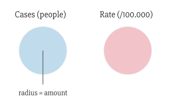
This map groups all cases into the country's cantons (a unit similar to a county).The data is presented in total cases as well as the rate of infection (for every 100.000 people).

Click the boxes to display the cases, the rate or both at the same time. Hover over the circles to display more information.

II. Weekly heat map by socioeconomical region

There are nine socioeconomical regions in Costa Rica. This heat map shows the distribution of infections across the year (grouped by week).

This view allows to quickly understand what regions are more vulnerable during the year and act accordingly.

Hover over the squares to display additional information.